
Discover how drone technology transforms sustainable architecture practices.
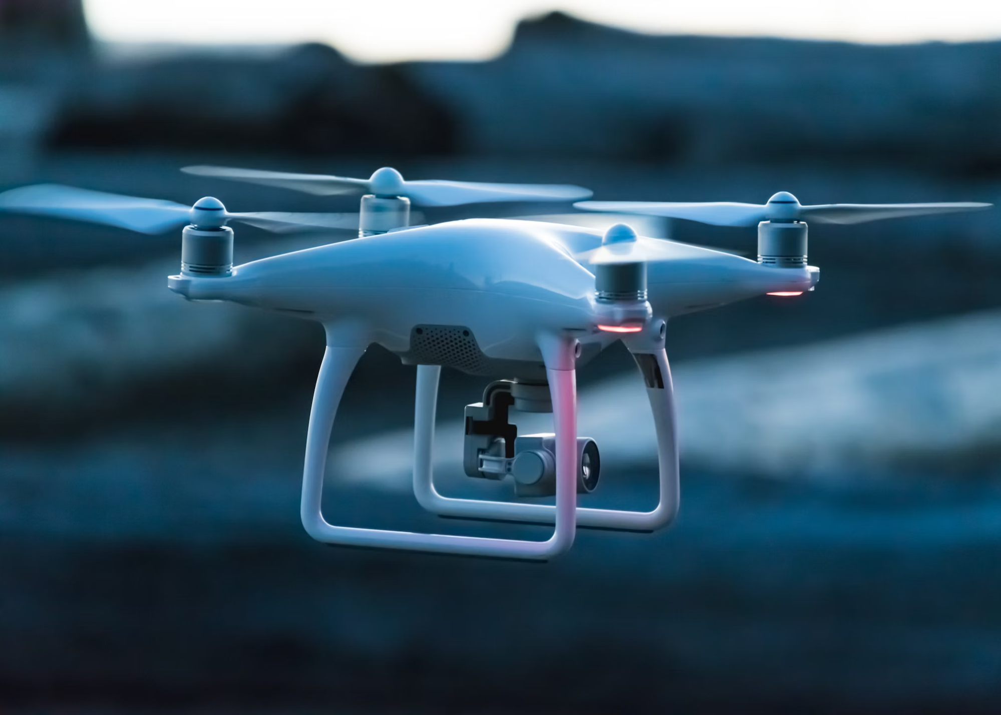
Drone surveying and mapping technologies are driving significant changes throughout the construction industry. Today’s architects use flying data collectors to plan and build sustainable projects with capabilities that were unimaginable only several years ago.
And the best part?
Beyond its innovative appeal this technology delivers quantifiable enhancements to efficiency and precision while improving environmental outcomes in architectural development.
In This Guide
- How Drone Surveying is Transforming Architecture
- Key Environmental Benefits of Aerial Mapping
- Real-World Applications in Sustainable Projects
- Challenges and Limitations to Consider
- Future Trends in Drone Technology for Green Building
How Drone Surveying is Transforming Architecture
Drone surveying introduces a foundational change in the initial stages of architectural project development. Traditional surveying techniques demanded human teams alongside detailed equipment and extended fieldwork that spanned days to weeks. With drones for surveying and mapping, the same data can be collected in hours with greater precision and less environmental disturbance.
Market predictions show that the US drone surveying market will achieve a value of $2.54 billion by 2033 based on its current rapid expansion. The industry’s massive investment demonstrates its acknowledgment of the transformative power of drone technology.
Architects committed to sustainable design benefit greatly from drone surveying because of its unique advantages.
- Through comprehensive site analysis drones obtain detailed topographical information which guides architects to select building locations that lessen environmental impact.
- Accelerated data collection during drone surveying reduces pre-development time and minimizes overall project carbon emissions.
- Sub-centimeter accuracy eliminates construction mistakes and avoids unnecessary repetitions in building processes.
- The survey process remains non-invasive because minimal site disturbance helps protect existing ecosystems.
But that’s just the beginning…
Key Environmental Benefits of Aerial Mapping
Drone surveying delivers such significant environmental benefits for sustainable architecture that its impact is immeasurable. Architects now create more sustainable designs from the initial stages through the use of these aerial data platforms.
The most apparent advantage of aerial mapping methods is their ability to lower carbon emissions. Traditional surveying methods needed several journeys using vehicles that consumed fuel and heavy equipment. One drone operating with rechargeable batteries can substitute all traditional surveying equipment and vehicles that use fuel.

The drone surveying industry reached a market valuation of $1.384 billion in 2023 according to industry data which also expects a compound annual growth rate (CAGR) of 19.3% during the following ten years. The technology’s ability to help projects meet stricter environmental standards explains its rapid growth.
The rapid growth of drone technology becomes clear when you examine their ability to address environmental issues within architectural projects. The necessity to address climate issues will drive widespread adoption for any construction technology that lessens ecological impact.
The environmental benefits extend to:
- Precise measurements enable architects to determine material needs accurately and decrease waste generation.
- Using minimal physical presence for surveying protects existing vegetation and wildlife on construction sites.
- Architects can create functional stormwater systems that align with natural drainage patterns using precise elevation data during water management planning.
- Drones map out the sun exposure of various sites which allows architects to optimize placement of solar arrays and passive design elements.
An architect explained that prior to using drones we were only able to estimate many site conditions. We now have precise data that covers all aspects from soil erosion trends to micro-climate characteristics. It’s revolutionized how we approach sustainable design.”
Real-World Applications in Sustainable Projects
Sustainable architecture projects worldwide benefit from drone surveying which goes beyond theory to deliver real-world results.
Urban Infill Development
Architects utilize drone technology to locate ideal infill development sites in urban areas with high population density while reducing interference with nearby buildings. The precision of drone-collected data allows for:
- Drones generate precise spatial measurements of the constricted areas located between already existing buildings.
- Identification of structural concerns before breaking ground
- Drone technology enables architects to create 3D models that show interactions between new buildings and existing infrastructure.
- Shadow pattern examination preserves solar access across neighborhood developments.
Landscape Integration
Drones offer essential data for projects that aim to integrate seamlessly with natural environments.
- Existing vegetation patterns for preservation
- Seasonal water flow across the site
- Wildlife corridors that should remain undisturbed
- Microclimate variations detected through drone data support passive design solutions in architecture.
Renovation and Adaptive Reuse
Drone surveys deliver distinctive advantages for existing structural projects
- Complete exterior structural assessment without scaffolding
- Thermal imaging to identify energy efficiency issues
- Precise documentation of historical features for preservation
- Volumetric calculations for material recycling planning
As of 2025 when the United States registered 855,860 drones the technology became widely adopted by architectural firms that prioritize sustainability. These advanced technological capabilities have become accessible enough for smaller firms to provide them to their clients.
Challenges and Limitations to Consider
The advantages of drone surveying should be weighed against the difficulties faced when applying this method in sustainable architecture.
Weather dependency remains a significant limitation. Heavy rain, snow and high winds prevent drones from functioning properly which results in project delays for projects located in areas with unstable weather patterns.
Regulatory hurdles continue to evolve. Survey projects face limitations from drone flight restrictions over airports and other sensitive urban locations.
Additional challenges include:
- Commercial drones typically operate for 20 to 30 minutes before needing a battery change.
- The production of massive data sets demands extensive computing resources for processing.
- Architectural firms need to provide proper training to fully utilize technology’s capabilities
- Drone surveys in residential zones require strict adherence to privacy legislation.
Architects need to understand current drone capabilities as technological advancements continue to address present limitations.
Future Trends in Drone Technology for Green Building
Future developments in drone technologies will enhance their utility for sustainable architectural projects.
AI-Powered Analysis
Drone surveying now utilizes artificial intelligence to automatically perform various tasks.
- Evaluate the best building locations by taking environmental conditions into account
- Calculate precise material quantities to minimize waste
- Early detection of site challenges prevents expensive construction issues from developing.
- Develop several sustainable design alternatives by evaluating specific site conditions.
Multi-Sensor Integration
Future architectural drones will incorporate a variety of sensing technologies.
- LiDAR for precise 3D terrain mapping
- Thermal imaging for energy efficiency analysis
- Multispectral sensors for vegetation health assessment
- Ground-penetrating radar capabilities for subsurface analysis
According to one sustainable architect these integrated sensors enable us to understand a site’s ecological context completely. Our observations go beyond the visible spectrum to provide understanding about underlying ground structures and biological systems that help guide sustainable design choices.
The Bottom Line: Drone Technology’s Role in Sustainable Architecture
Drone surveying technology brings revolutionary changes to sustainable architectural practices. The superior precision and operational efficiency of drones combined with their environmental advantages render them essential for architects who aim to design buildings with reduced ecological footprints.
The statistical evidence reinforces this trend. The US drone surveying market is set to grow to $2.54 billion by 2033 while more than 855,860 registered drones currently operate throughout the country which indicates a developing trend toward drone technology becoming standard architectural practice.
For forward-thinking architects and developers, embracing drone technology isn’t just about staying competitive – it’s about fulfilling the fundamental promise of sustainable architecture: The fundamental promise of sustainable architecture revolves around developing functional spaces which not only look beautiful but also work in concert with nature instead of opposing it.